Traffic and shipping
Share this page
This theme gathers information on the limits that regulate maritime traffic and navigation. At present, these are mainly limits defined by the maritime prefectures, the Directorate of Maritime Affairs, and the IMO.
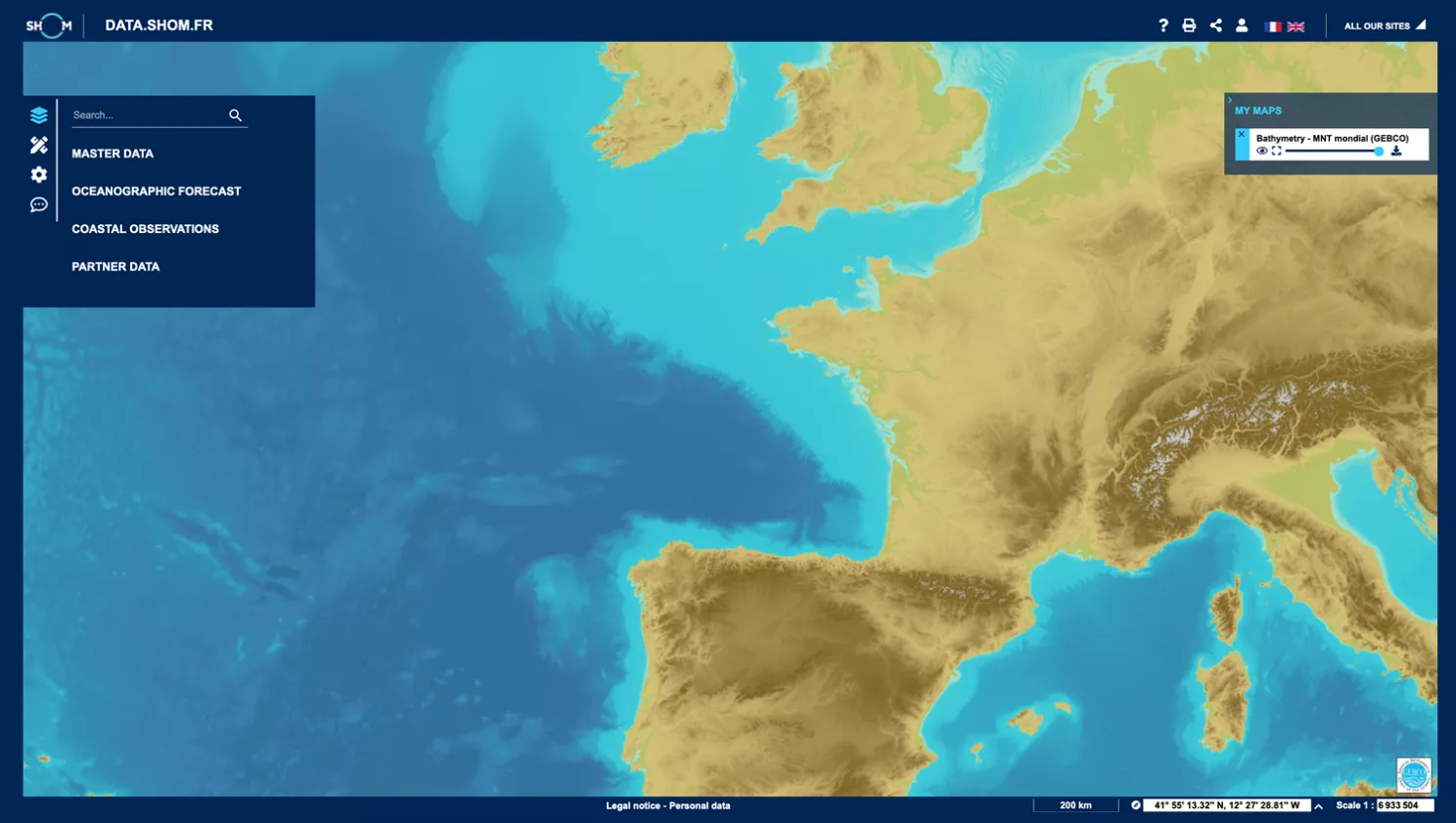
Map viewer
data.shom.fr
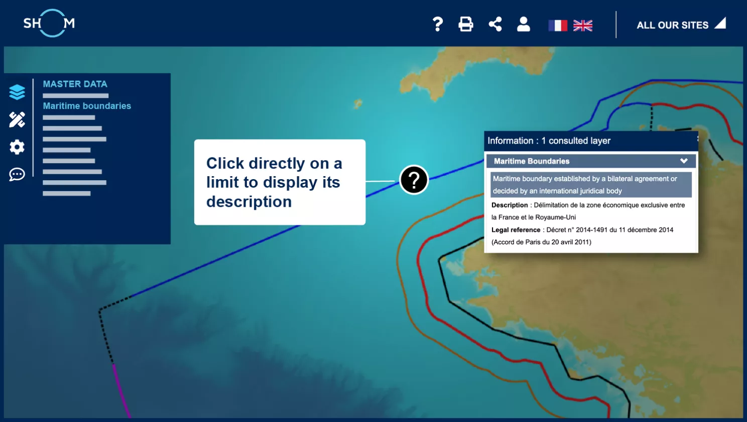
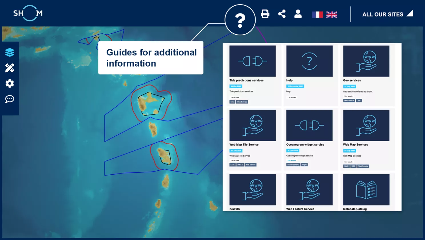
Access to data information
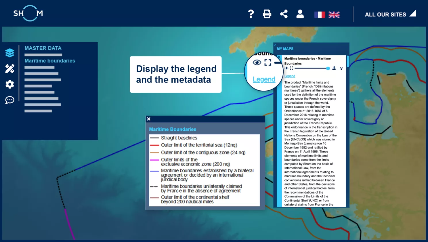
Access to metadata and legend
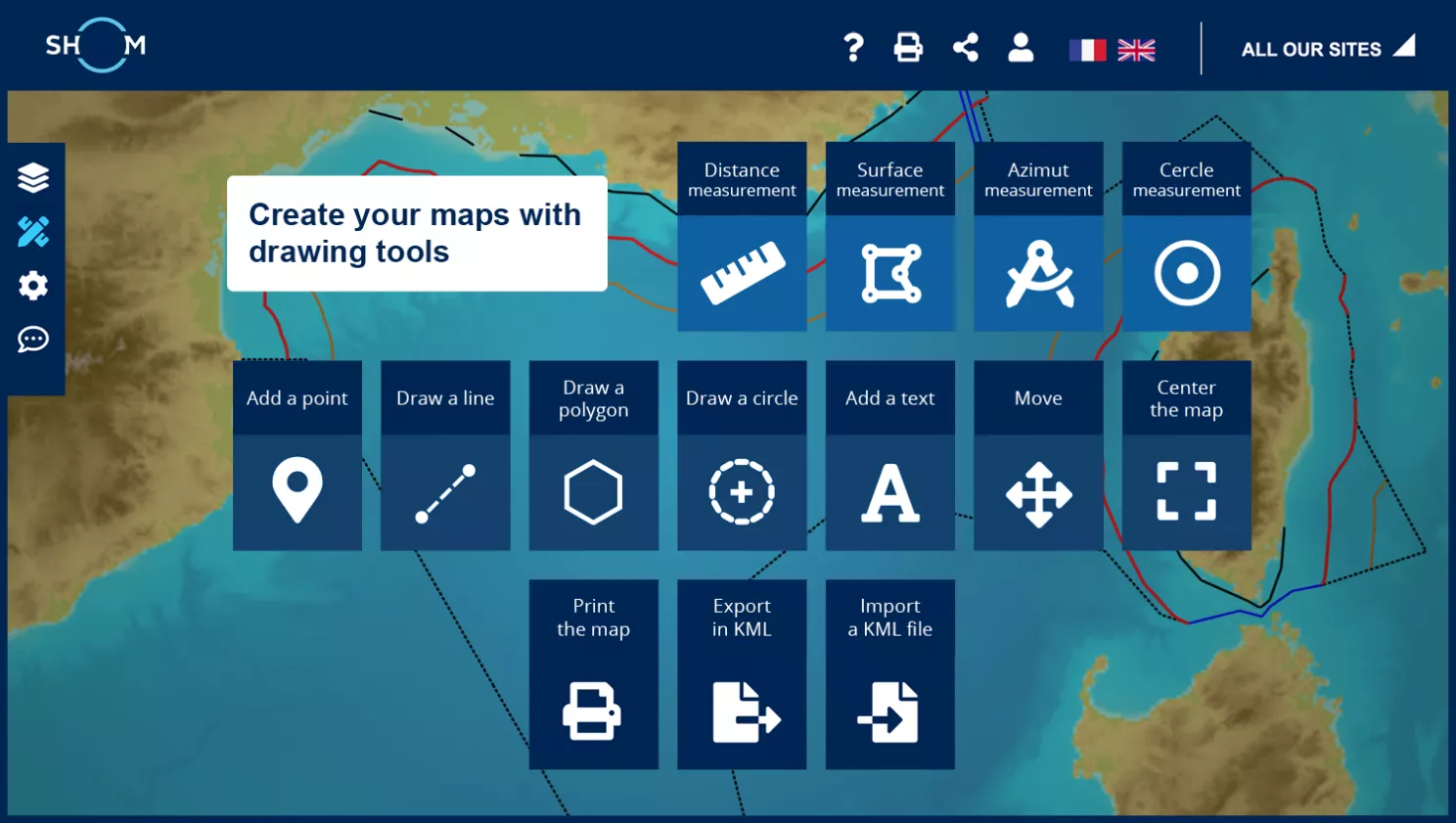
Composing your maps with the drawing tools
Step 1 of 5
Next step :