Limits of competence and reporting
Share this page
This theme gathers information on administrative boundaries establishing jurisdiction or defined for reporting purposes. At present, this mainly concerns administrative boundaries in watercourses and the boundary of the preventive archaeology fee.
Map viewer
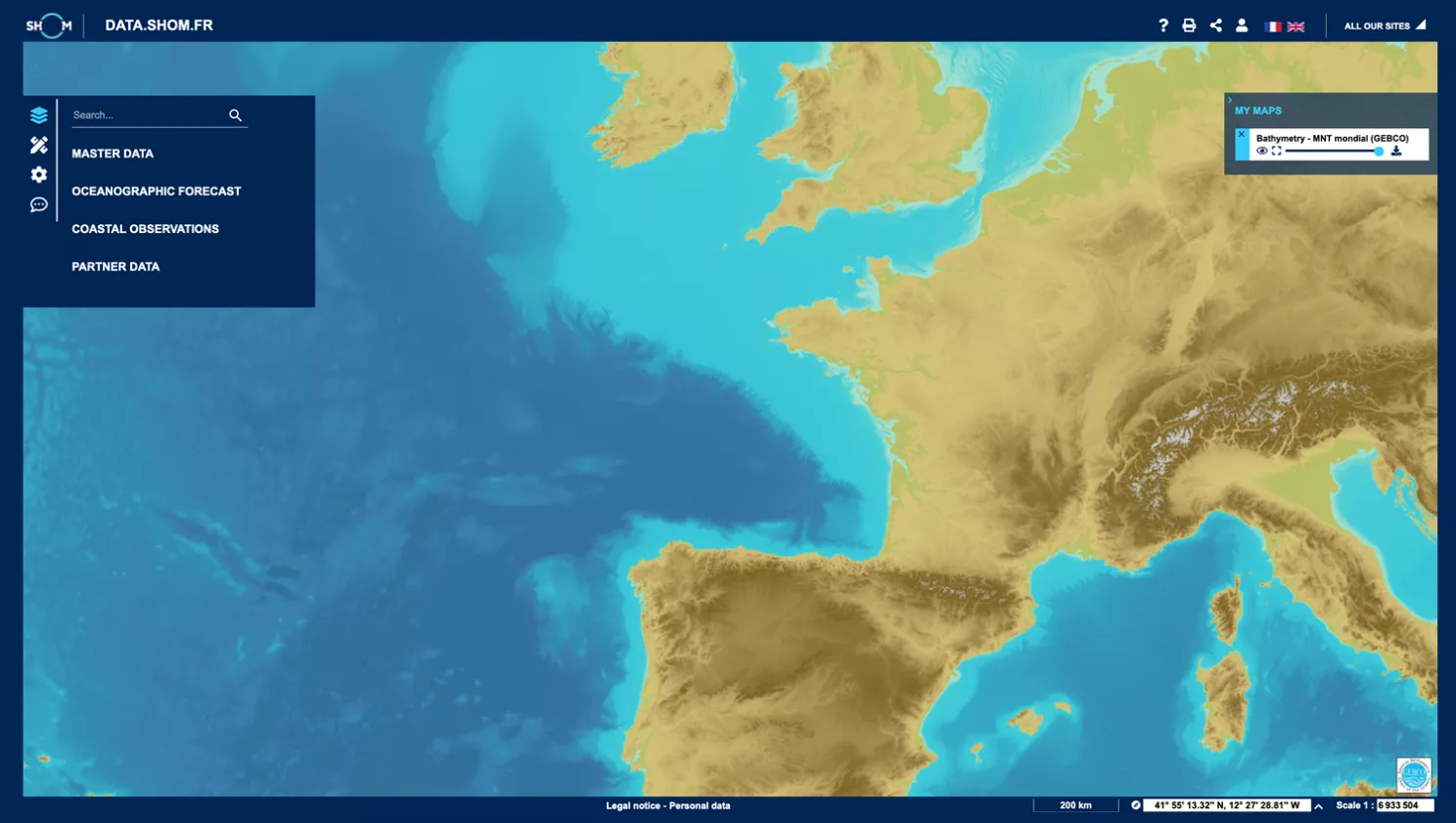
data.shom.fr
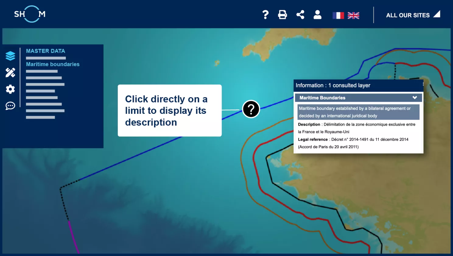
Access to data information
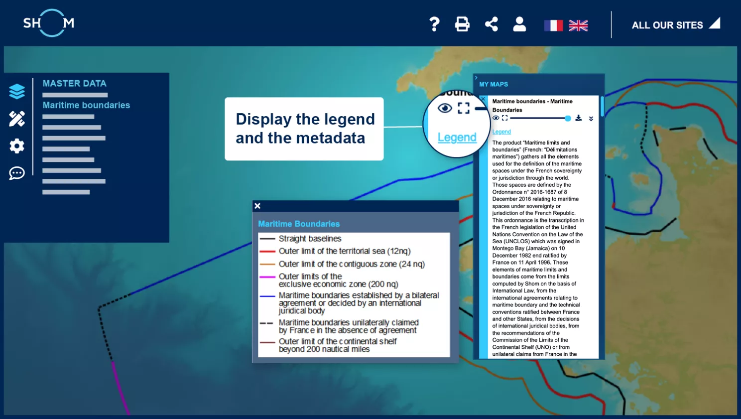
Access to metadata and legend
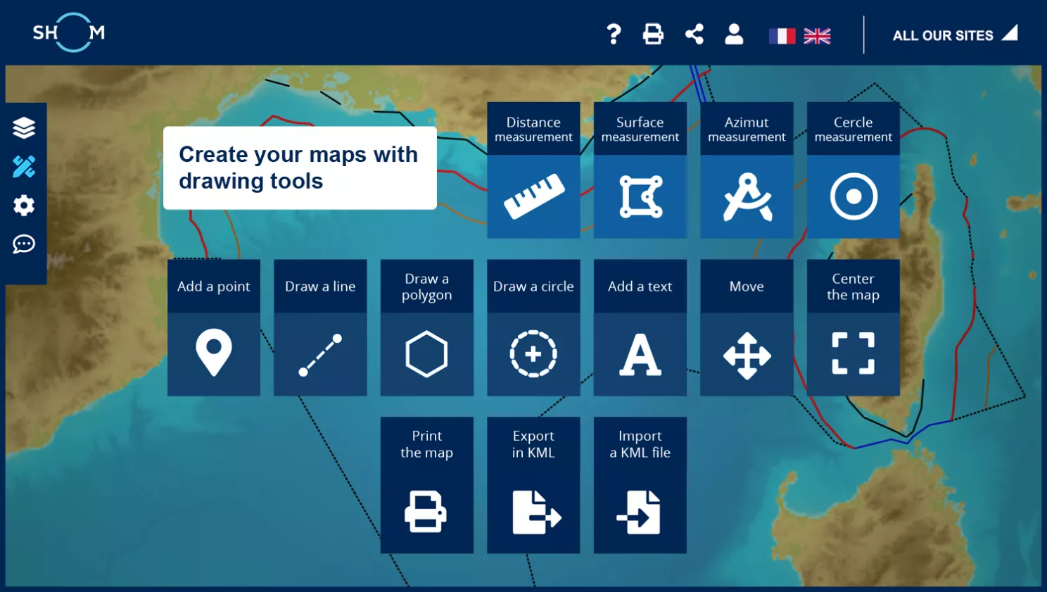
Composing your maps with the drawing tools
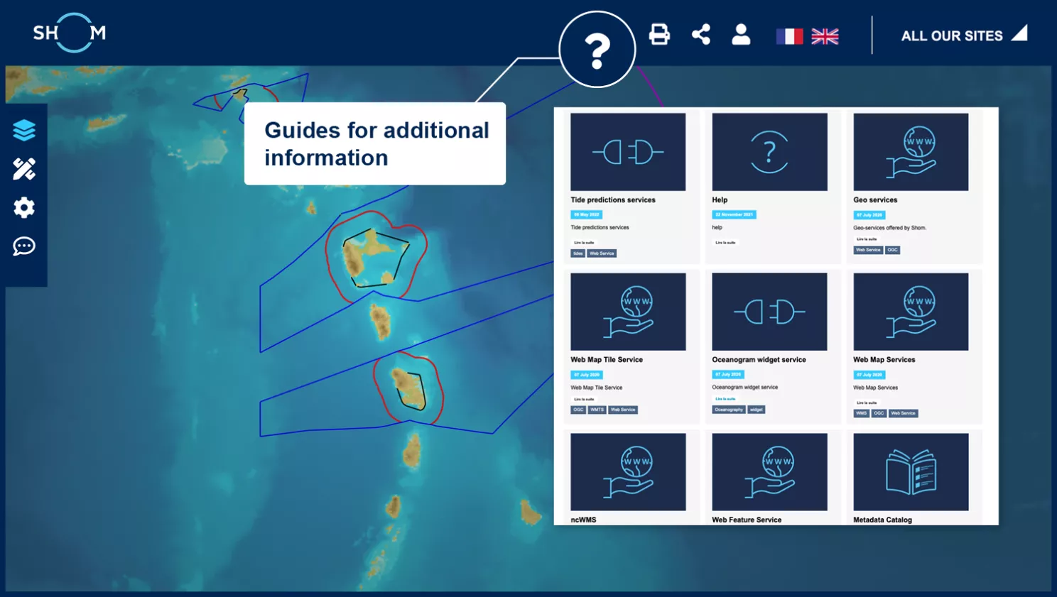
Get help on data.shom.fr
Step 1 of 5
Next step :