Occupation and use of the maritime domain
Share this page
This theme gathers information relating to the limits regulating occupations (e.g. ports, submarine cables, MRE, marine aquaculture, etc.) and activities (e.g. fishing, dredging and dumping, material extraction, etc.) in the maritime domain.
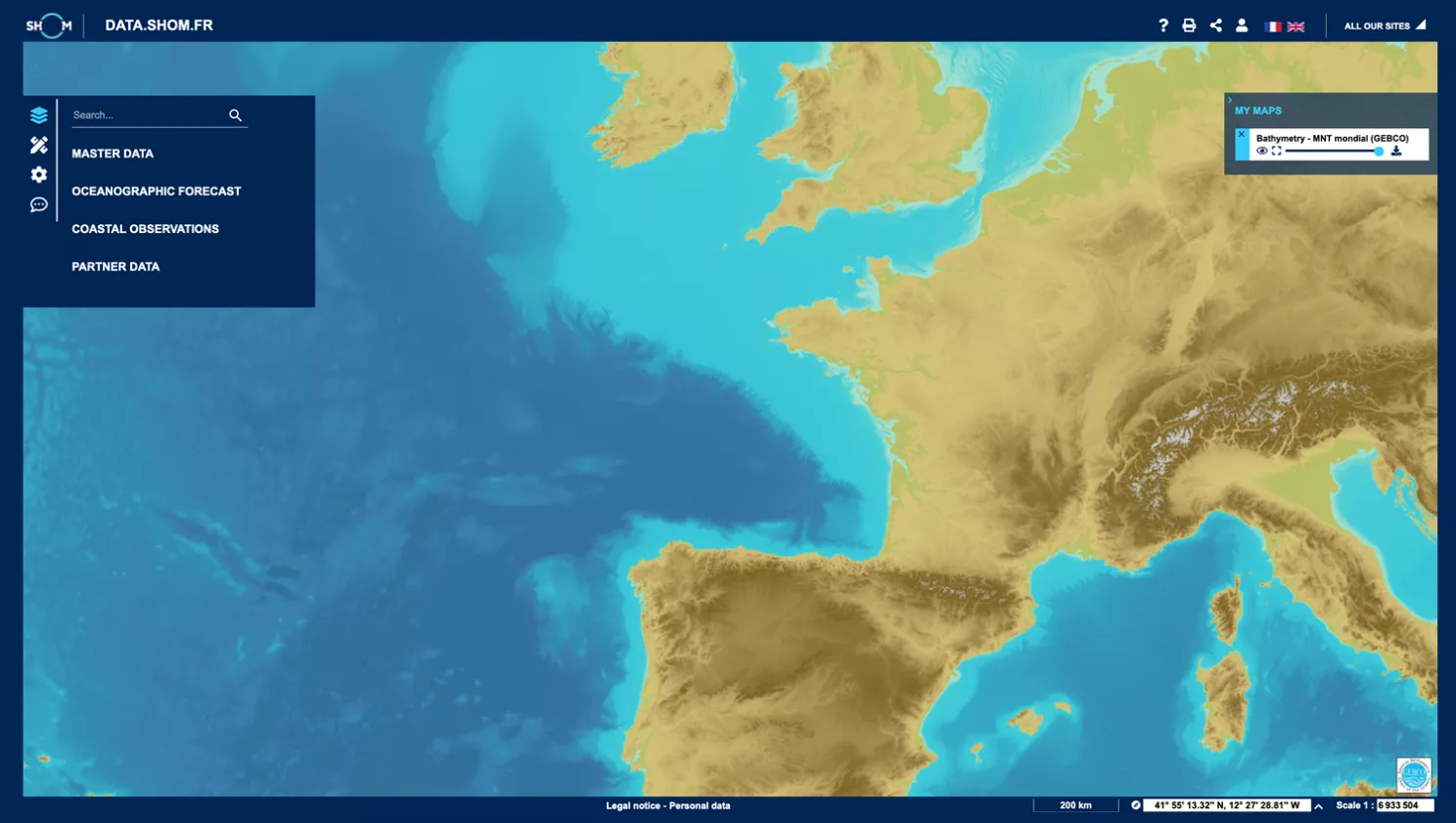
Map viewer
data.shom.fr
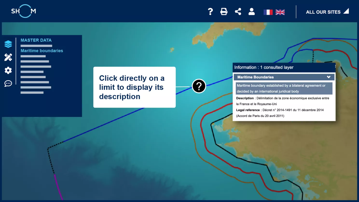
Access to data information
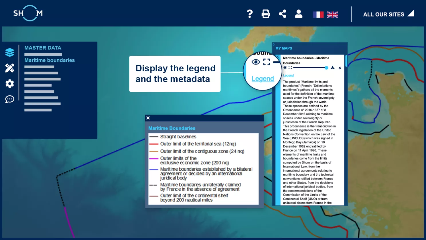
Access to metadata and legend
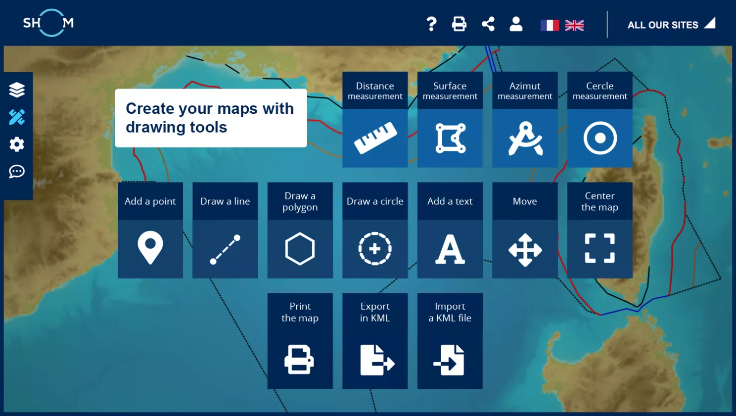
Composing your maps with the drawing tools
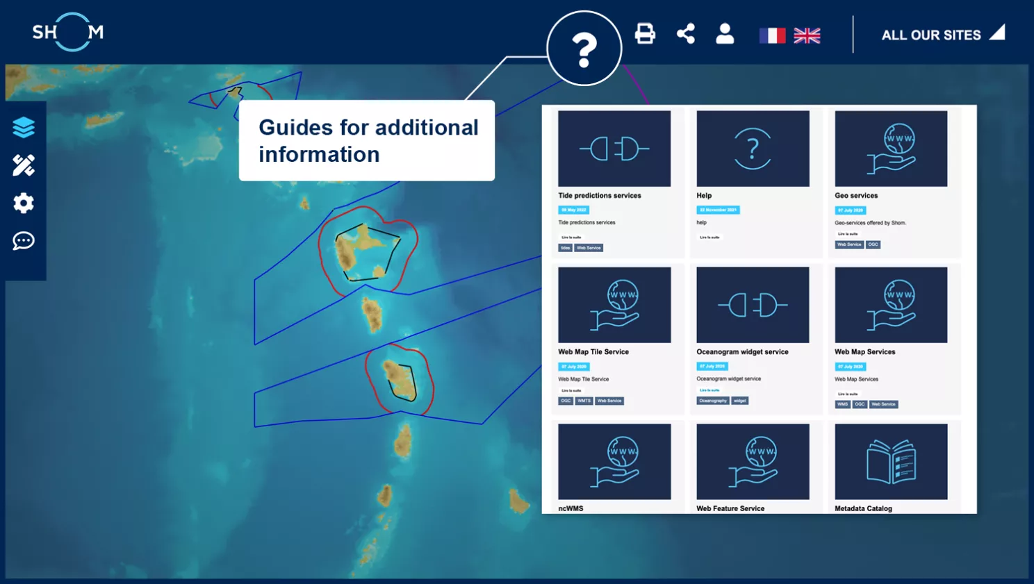
Get help on data.shom.fr
Step 1 of 5
Next step :